
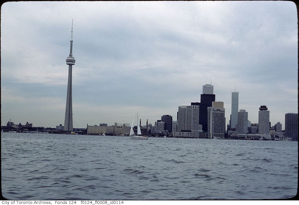
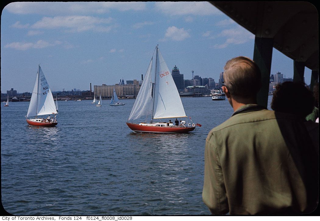
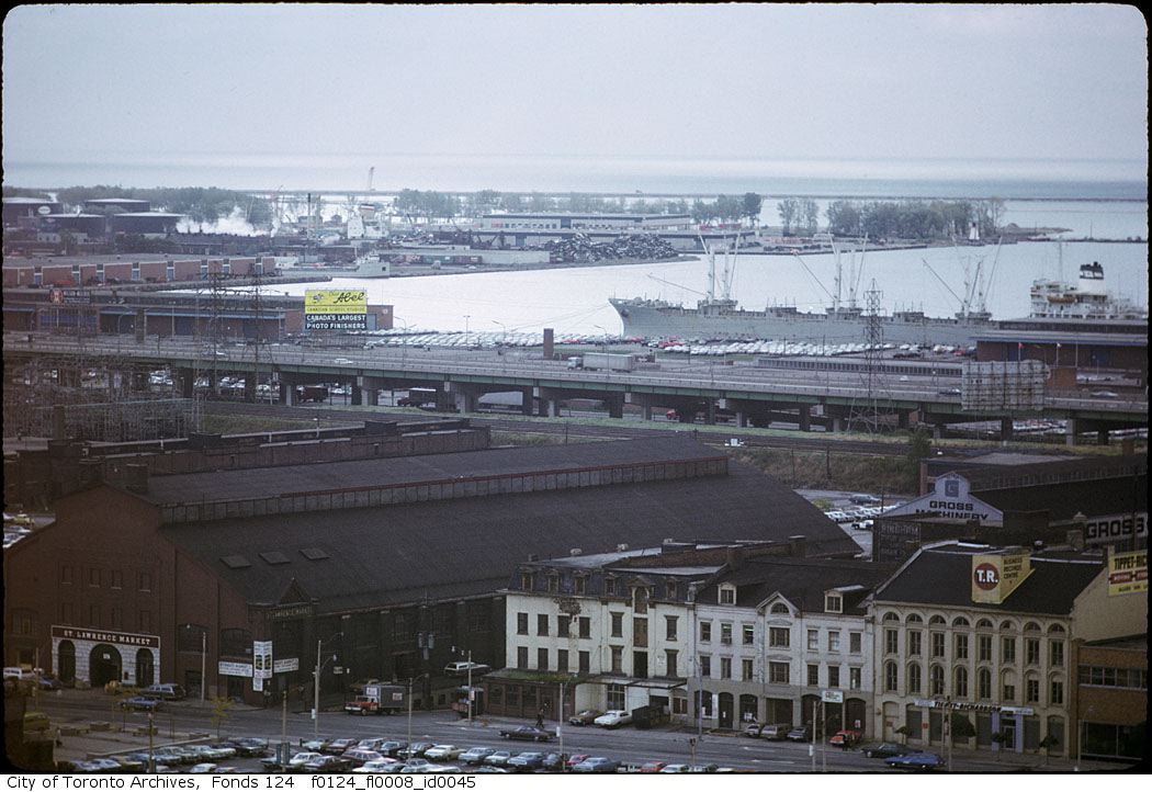
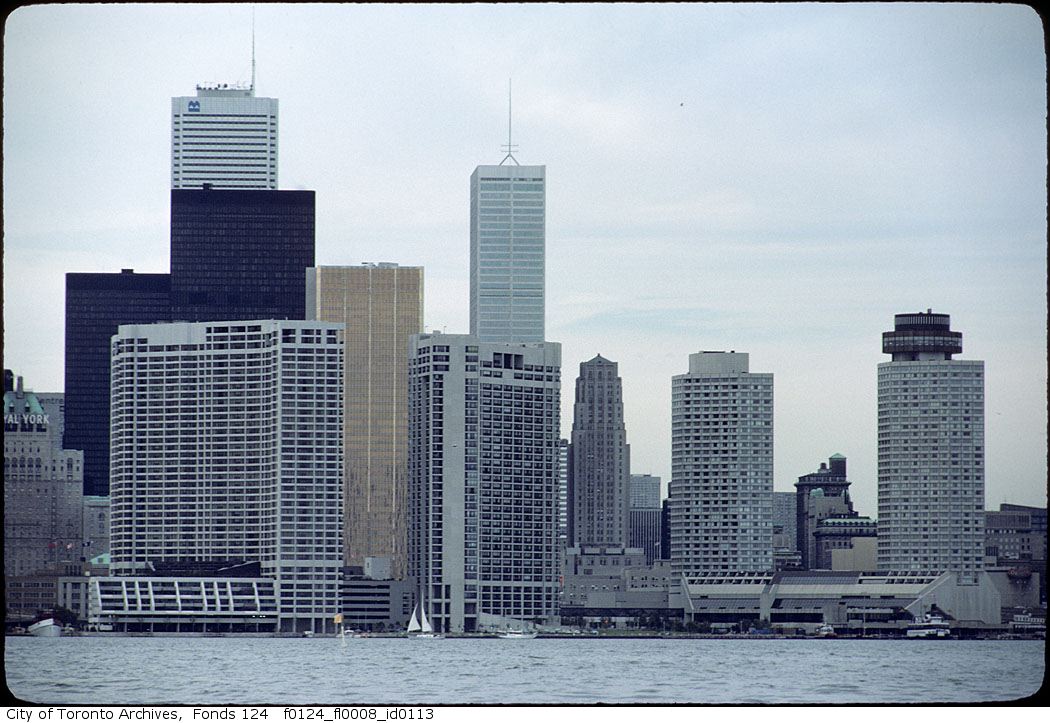
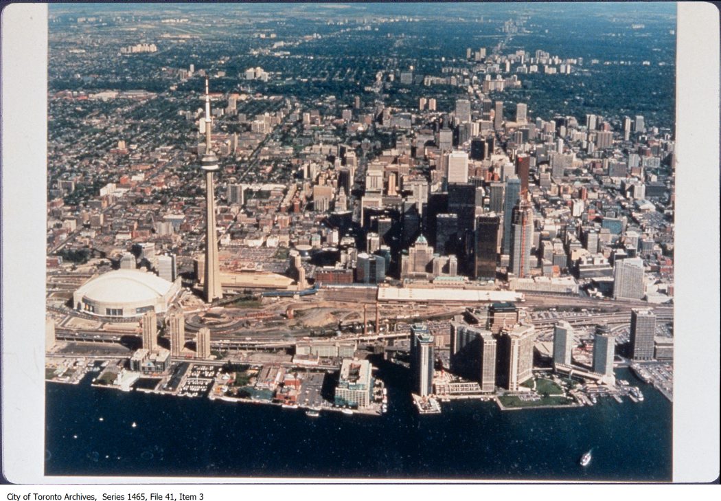
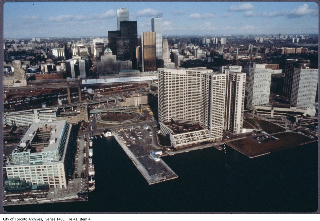
With the Toronto waterfront’s massive revitalization well underway, it has quickly become one of the most sought after locations to live in the city. Who wouldn’t want to be right on Lake Ontario with so many great amenities and public spaces nearby? That being said, our waterfront didn’t always look how it does now, which as you can guess is one of the major reasons a revitalization was needed for its success.
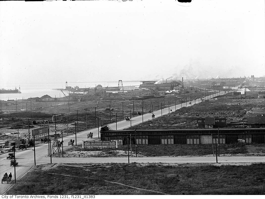
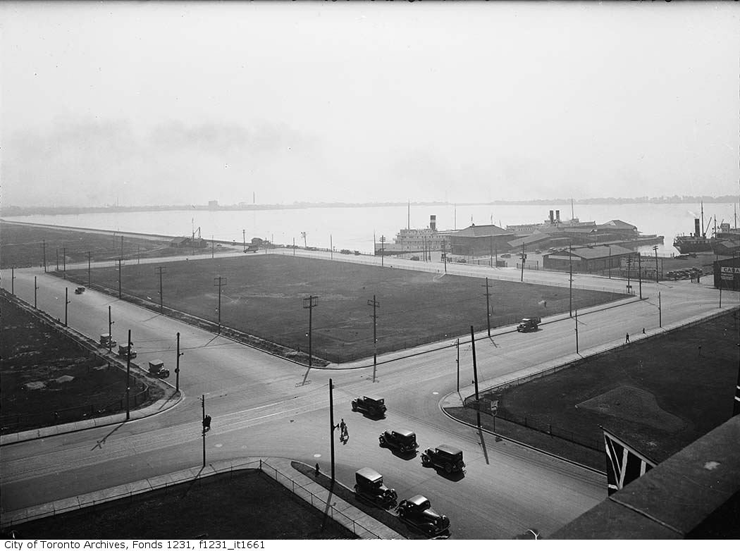
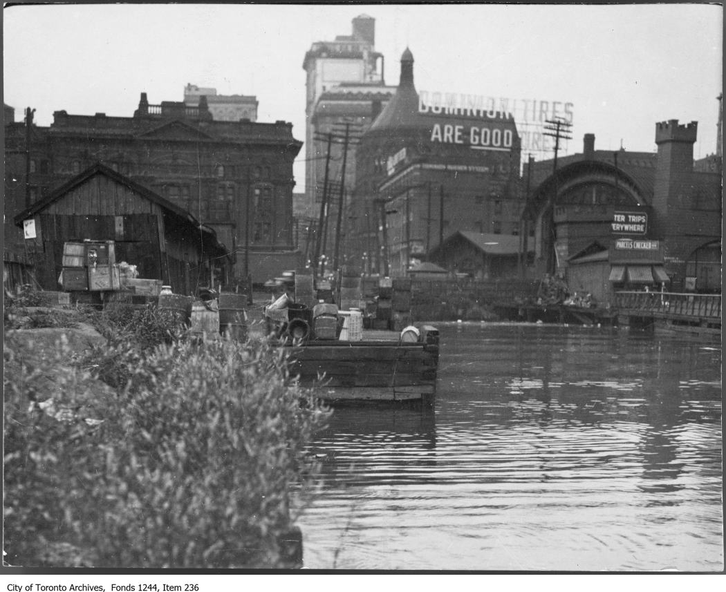
Before the Gardiner Expressway was built in the 1950s, most of the waterfront land was used for industrial purposes – oil storage, coal storage, heavy manufacturing, and more. With the Gardiner Expressway came more development in the downtown area and land prices began to rise, so these industrial companies quickly sought new land somewhere else. In the 1970s, the first revitalization of the waterfront began with the Harbourfront, which is still a huge part of the waterfront community today. Over the course of the past few decades and more more attention has been paid to the waterfront, especially recently with the new Queen’s Quay, and because of this our neighbourhood is more beautiful than ever.
With this in mind, let’s take a look back at what the Toronto waterfront used to look like years ago:
![Waterfront - Toronto Island. - [between 1977 and 1998]](http://pier27tower.com/blog/wp-content/uploads/2015/10/s1465_fl0140_id0012.jpg)
![Waterfront - industry, port. - [ca. 1988]](http://pier27tower.com/blog/wp-content/uploads/2015/10/s1465_fl0154_id0056.jpg)
All photos via City of Toronto Archives